


Structure from motion using ArcGIS orthomapping Python Api
In my previous articles on photogrammetry, I introduced structure from motion photogrammetry, explained block adjustment, and demonstrated how to generate photogrammetry products for urban monitoring
Understanding block adjustment and Control Points in Photogrammetry
Bundle block adjustment is a fundamental concept in photogrammetry, involving the calculation of camera interior and exterior orientation parameters as well as the 3D coordinates
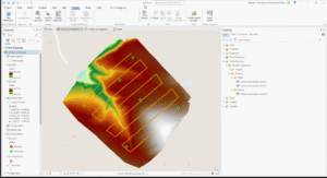
ArcGIS PRO Reality Mapping : A one-stop center for photogrammetry projects.
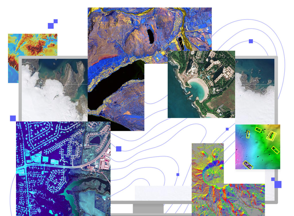
Structure From Motion (SFM) is a photogrammetric technique for creating orthophotos and 3D models of the earth surface from overlapping photographs. The photographs can be
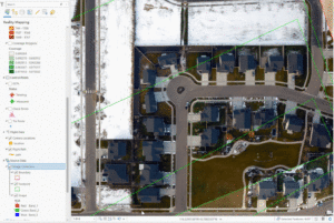
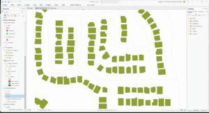
Monitoring seedling status using high resolution UAV data: A case study of Trails restoration project in the city of Boise, Idaho.
Unoccupied Aerial Systems (UAS), commonly known as drones, have revolutionized environmental monitoring and ecological research. They offer a promising alternative to traditional methods, such as
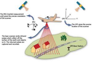
Introduction to LiDAR remote sensing
Learning Objectives¶ In this tutorial, we will learn how to work with lidar derived raster product that represent topography and snow depth. The objectives include:
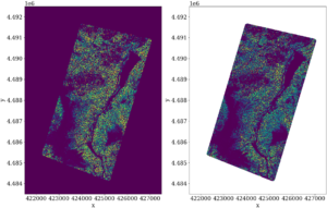
Importance of Nodata Mask in raster calculation and plotting
In this notebook, I demonstrated the importance of masking the no data value for raster calculation and plotting. I used a digital surface model and

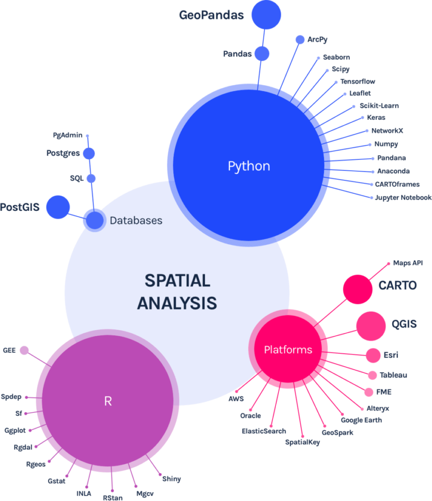
Getting Started with Pandas
Introduction¶ Pandas is a python package for reading, cleaning, exploring and analyzing tabular data such as data from spreadsheets or databases. Pandas provides flexible and