Uncategorized
The role of imaging in Geodesy: Monitoring shape and motion
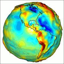
Geodesy is the science of measuring the orientation, shape, size and gravity of the earth as well as the variation of these properties over time. Conventionally, these measurement is done using various surveying and astronomical equipment such as levelling, GPS,