ArcGIS
Monitoring seedling status using high resolution UAV data: A case study of Trails restoration project in the city of Boise, Idaho.
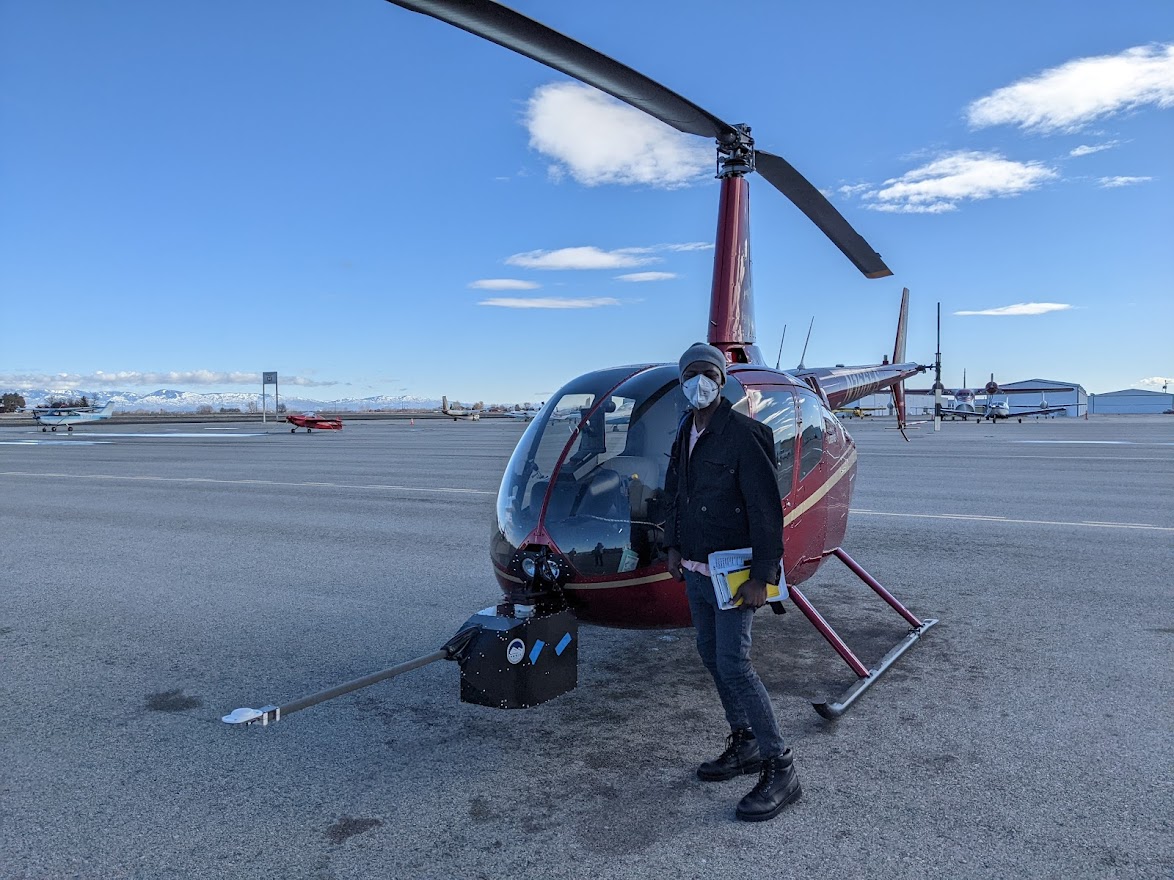
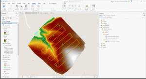
Unoccupied Aerial Systems (UAS), commonly known as drones, have revolutionized environmental monitoring and ecological research. They offer a promising alternative to traditional methods, such as field surveys, for analyzing seedling survival and vegetation dynamics. In restoration projects, UAS technology helps