ArcGIS
Structure from motion using ArcGIS orthomapping Python Api
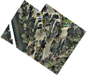
In my previous articles on photogrammetry, I introduced structure from motion photogrammetry, explained block adjustment, and demonstrated how to generate photogrammetry products for urban monitoring and biodiversity conservation using ArcGIS PRO’s reality mapping feature. ArcGIS PRO provides a user-friendly interface

