ArcGIS Pro enables the photogrammetric correction of imagery from diverse sources, eliminating geometric distortions and improving color balance. This facilitates the generation of orthorectified image datasets, orthomosaics, and digital terrain and surface models for various applications.
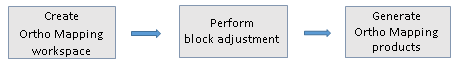
SfM data processing in ArcGIS PRO requires three main steps:
- Create a workspace
- Perform block adjustment to correct the geometric distortions in the imagery
- Generate products

We will get fully into this in the next lesson but for now, let’s get familiar with ArcGIS interface. Launch ArcGIS PRO and create a project. This open the application with an interface as shown below:
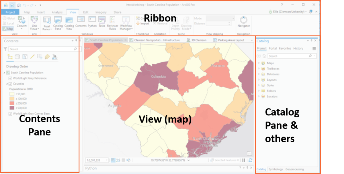
Get familiar with the ribbon. It will be your most visited part of the interface because it is the access area to almost everything you need.
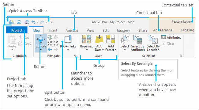
Since we are doing remote sensing, we will be using the imagery tab. Explore the tools under the imagery tab. Notice the ortho mapping tool. We will use this to create a workspace in the next lesson.